Superior National Forest Scenic Byway
Explore the serenity of this little-known route
The Superior National Forest Scenic Byway is a 78-mile route that winds through the Superior National Forest, a three million-acre rugged landscape formed by glaciers and populated with lakes, pines and wildlife. Stop along the way and you’ll hear wind whistling through trees, see the splash of a fish jumping in a lake and likely cross paths with a majestic bald eagle.

You’ll never be too far from creature comforts on the Superior National Forest Scenic Byway – but it might feel that way!
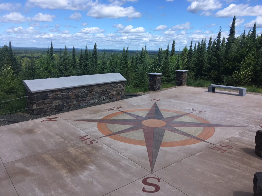
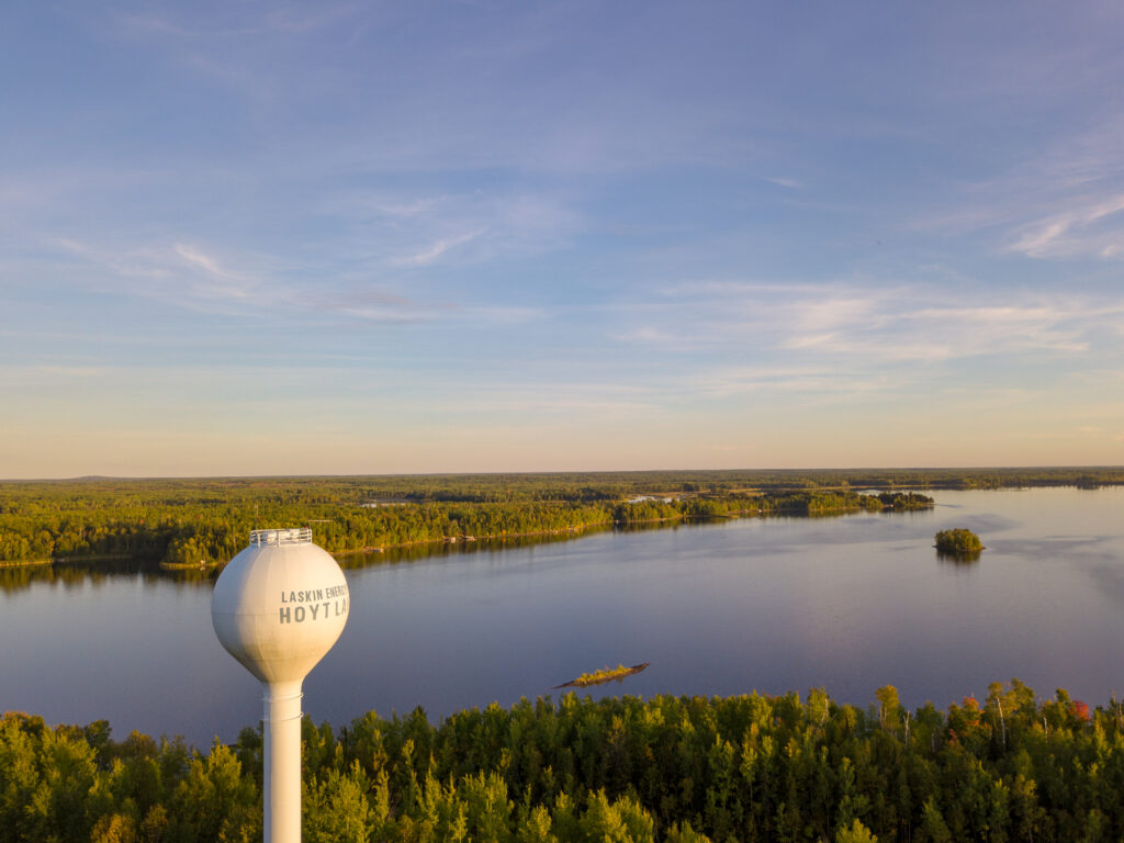
Travel in comfort between Aurora and Hoyt Lakes on Minnesota’s Iron Range to Silver Bay on the North Shore of Lake Superior. The Toimi School and Skibo Vista (above) are great places to discover a bit of regional history. The Toimi School offers a look into the lives of Finnish settlers, the children who attended this one-room school, and the teacher who had quarters there. Skibo Vista offers a 20-mile view to the horizon and interpretive signage about the communities that once existed nearby. Historic sites here also include the Longyear Drill Site near Hoyt Lakes, where welcoming lodging and a lakeshore campground are waiting. In nearby Aurora, The Hive, Megan’s, The Copper Nickel and Rudy’s offer options for dining, and the Mesabi Trail provides a scenic walk to a former mine pit now filled with water.

Let yourself wander on the side roads of the Superior National Forest Scenic Byway
Make Your Superior National Forest Scenic Byway Visit a Circle Tour
Include the Byway as part of a circle tour that includes Hwy 1 in Ely, the North Shore Scenic Drive, and the history- and trail-laden area of The Range. Rustic campsites, some pack-in only, as well as National Forest campgrounds offer options for those with a tent or RV, and many lakes and trails along the byway provide a wilderness experience for kayaking, canoeing and fishing.
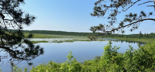
If the great outdoors is calling, Sullivan Lake Campground, the White Pine Interpretive Trail, Norway Point and the Bird Lake Trail offer excellent stops to take in nature on the Byway.
About the Superior National Forest
This three million-acre forest is located on the most southern edge of the boreal forest ecosystem. Home to the one million-acre Boundary Waters Canoe Area Wilderness, the Superior National Forest is bordered by Canada, Lake Superior and Voyageur’s National Park. It’s southern edge intersects with iron mining, making for a unique experience at every turn!
The Superior National Forest is a wonderful place to view stars, and, if you are lucky, even the northern lights. Many gravel forest roads weave through the Superior National Forest, but paved roads abound as well, including the Superior National Forest Scenic Byway, Highway 1, and the North Shore Scenic Drive.
Request a map of the Byway to help plan your trip, and explore this interactive online map to learn more.


