Experience the Waters of the Scenic Byway

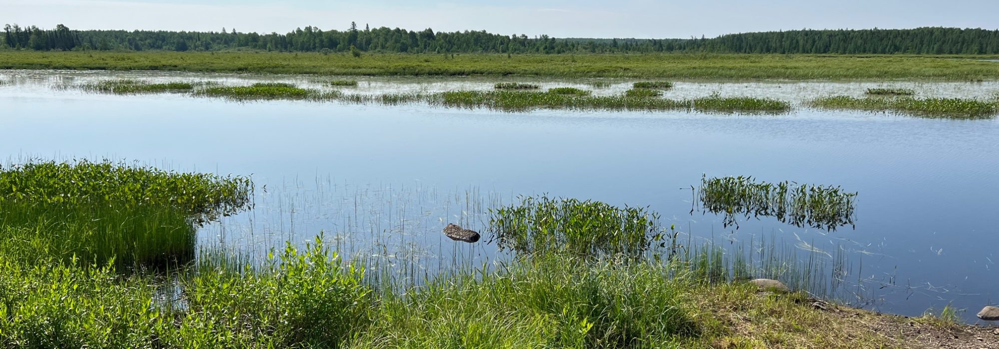
The Superior National Forest Scenic Byway winds its way from Aurora, in northeastern Minnesota, through Hoyt Lakes and toward the north shore of Lake Superior and Silver Bay. As it does, it passes by serene lakes and the St Louis River. For the most part, these waters are unseen from the Byway. But turn off the road and you will be pleasantly surprised by the scenery and solitude of these waters.
Bird Lake Trails
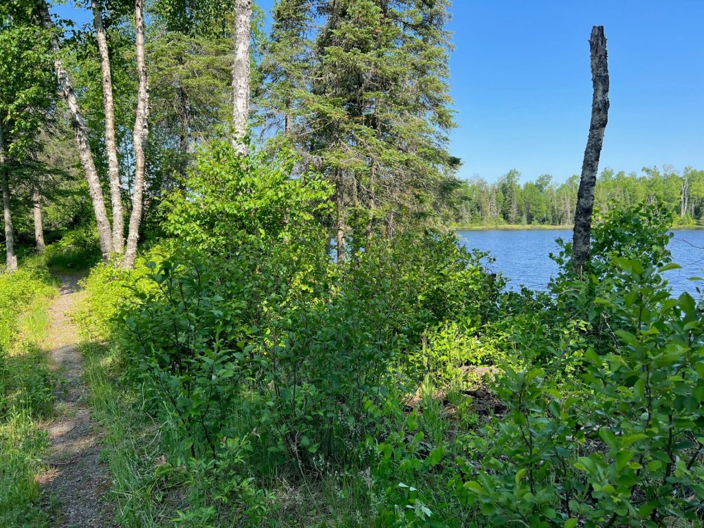
Hike alongside Bird Lake and onto a moderately difficult loop of about 2 miles. Or cross the Scenic Byway to a mile-long hike to the petite Lake Lillian and a small loop trail also rated “more difficult.” Picnic areas here overlook each lake and provide a quiet repast with nature. View the trail map here.
Saint Louis River
A state-designated canoe route, the headwaters of the St Louis River start just north of the Byway. Six miles south of the Byway near Hoyt Lakes the river widens and offers a boat launch, picnic area and short trail at Norway Point. Launch a kayak here and paddle around, build a fire on the shore, and enjoy an afternoon picnic.
Cadotte Lake
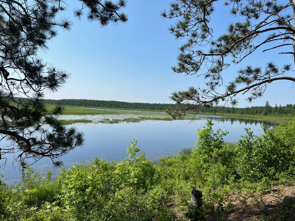
With lovely lakeside campsites, beach and boat launch, the quietly remote and rustic US Forest Service Campground is ideal for true nature lovers and those who want to feel away from it all (no electric hook-ups but sites can accommodate RVs). Cadotte Lake has walleye, northern, bass and panfish.
Sullivan Lake
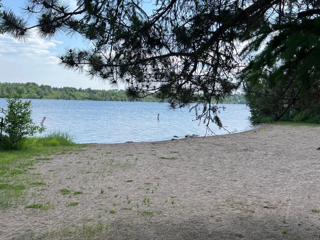
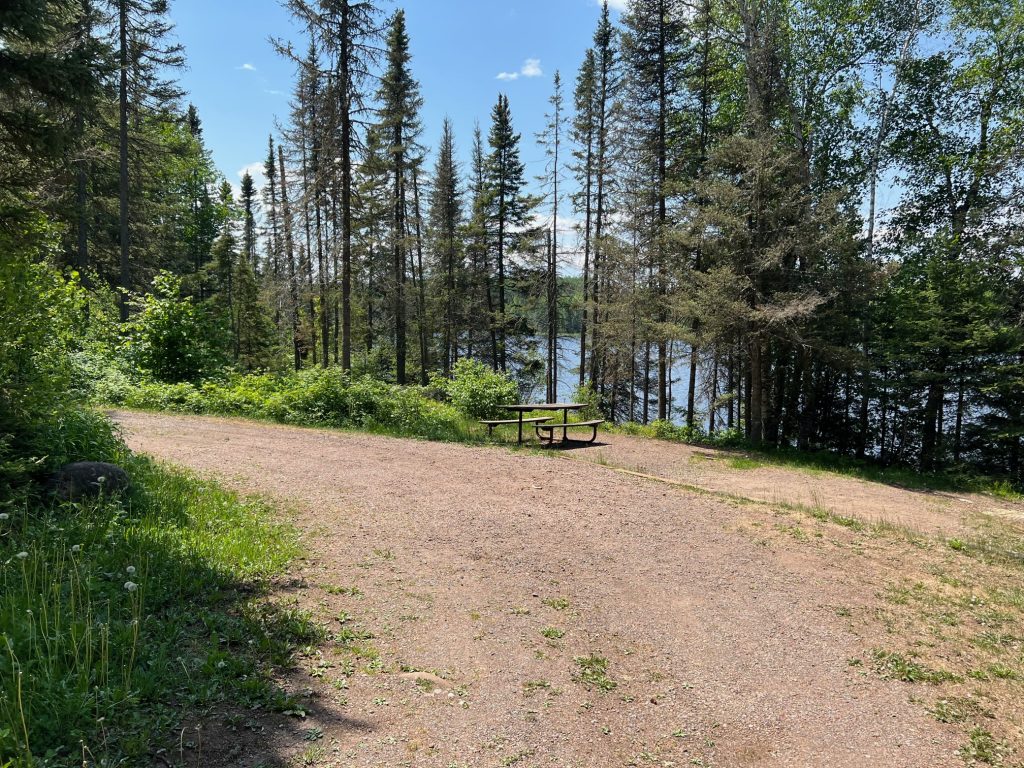
Near the midway point on the Byway between Beaver Bay and Hoyt Lakes, Sullivan Lake offers tent camping with drinking water, hiking trails and wildlife watching. Bring a boat or kayak to explore, or fish from shore on the pier. This rustic Minnesota DNR campground has about two miles of trails and scenic views.
To receive a free map of the Byway, complete with numerous stops noted along the way, request one here.
